The Saxon Loess Gefilde
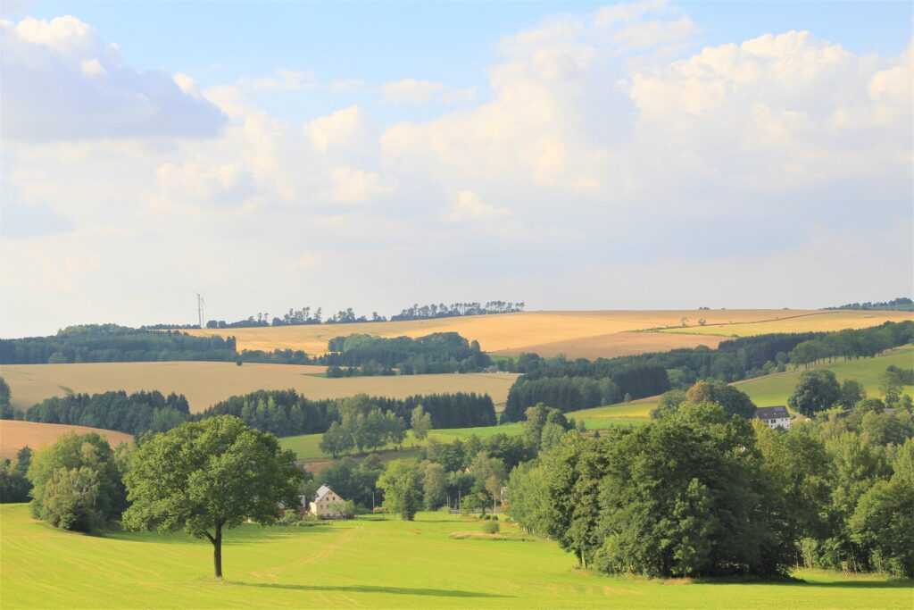
The Saxon Loess Gefilde describes a natural region of Saxony, which extends as a loess band across the state. To the north, the region borders on the city of Leipzig and further to the east on heath land. In the south, the Loess Gefilde becomes increasingly hilly and increasingly merges with the Saxon Uplands. The characteristic loess soils were formed in and after the ice age by wind erosion. Particularly components of the fine silt fraction, as well as clay and fine sand in small proportions, subsequently accumulated in the lee as loess deposits.
Landscape and land use
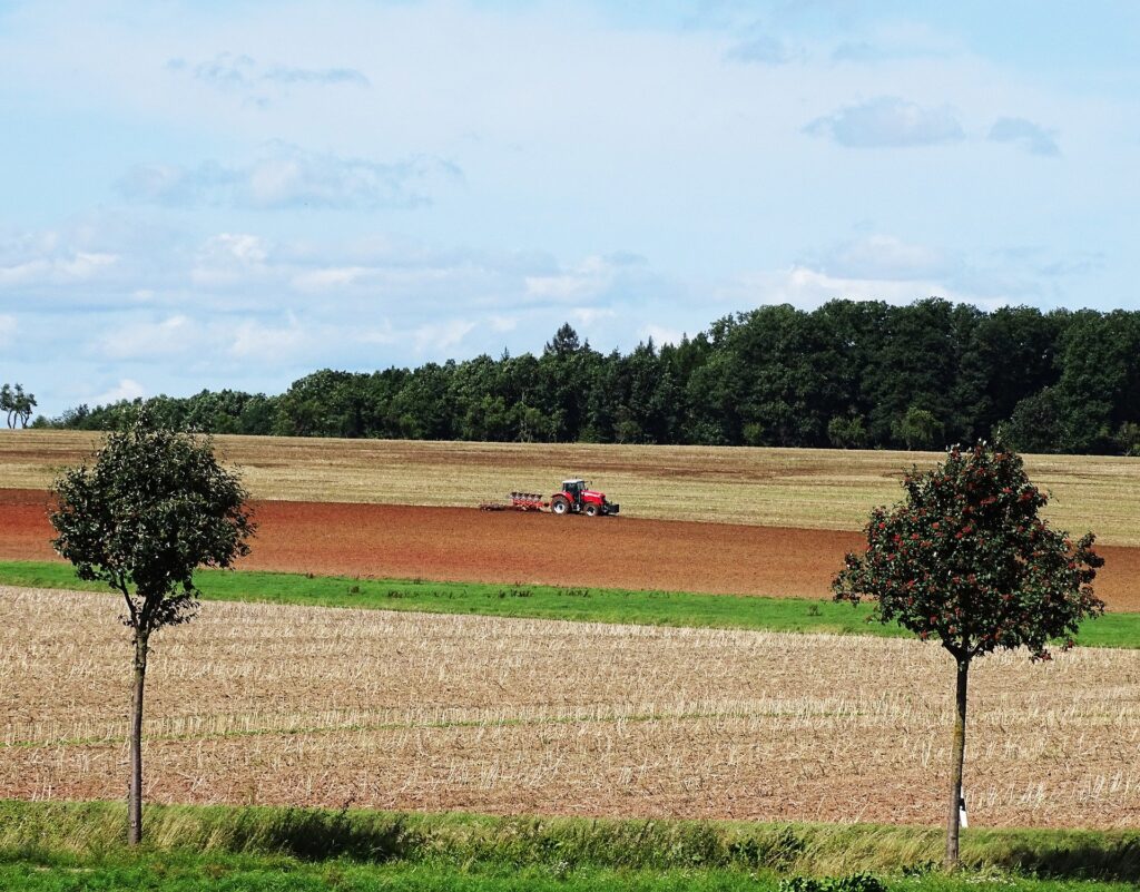
The region is characterized by enormously fertile and productive soils. The average pore size of the particles provides ideal conditions for root penetration and water storage: one cubic meter of loess soil can retain up to 206 liters of water available to plants. The valuable loess soils are therefore mainly used for agriculture.
The region is also known as Germany’s granary. Saxony – and especially the loess region in the middle of the country – is characterized by the cultivation of threshed crops. The degree of self-sufficiency in cereals in Saxony is well over 100 percent. Due to the historical consolidation of land into state-owned agricultural production cooperatives (LPGs) in the former GDR, the agricultural structure in Saxony is characterized by farms and cooperatives with high land endowments and large fields. On average, farms in Saxony manage 140 hectares, which is significantly higher than the national average of just over 60 hectares of farmland.