Hohenlohe
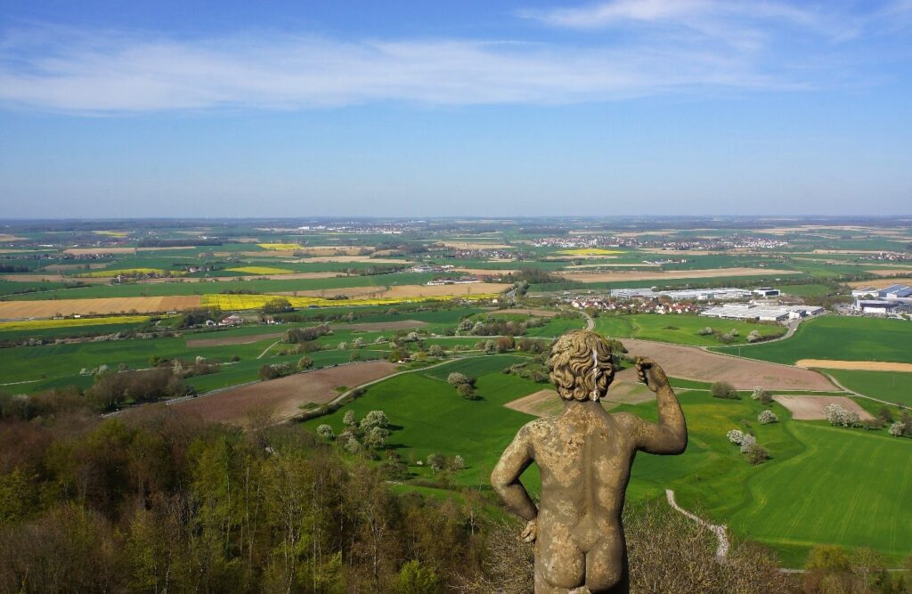
The Hohenlohe region includes the districts of Schwäbisch Hall, Hohenlohekreis, Rems-Murr-Kreis, Ostalbkreis, Main-Tauber-Kreis and Ansbach Kreis. The Hohenlohe region, which promotes insects, is represented in the project by the Schwäbisch Hall Farmers’ Producers’ Association and the Blühende Landschaften network. Since our current main area of impact is in the Schwäbisch Hall and Hohenlohe counties, the overview is limited to these counties. However, our goal is to include all counties in the Hohenlohe region in the emerging network and to jointly create an alliance for insect conservation in the region. Topographically, the region lies between 168 and 564.7 m above sea level. The Hohenlohe plain, characterized by the scenic and ecologically valuable shell limestone valleys, is crossed by the rivers Kocher and Jagst. Higher and predominantly located in the nature park are the forest and greenland dominated Swabian-Franconian Forest Mountains. To the southeast rise the foothills of the Virngrund. The juniper heaths of the Crailsheimer Hardt are remarkable.
Landscape and land use
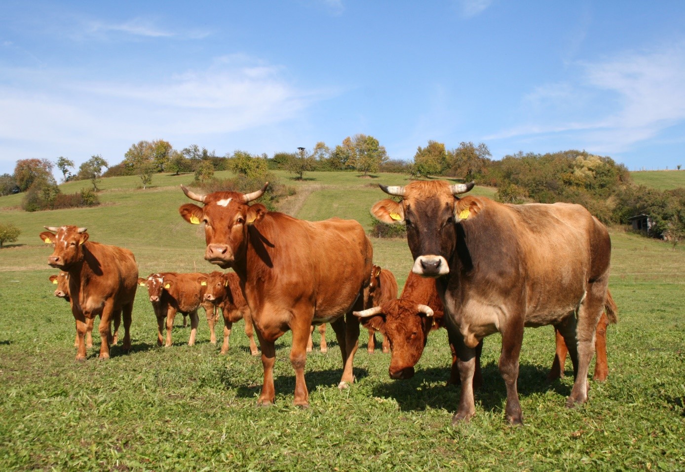
The agriculture of the rural region is varied and significant. Of the 77,000 hectares of the district, around 42,000 hectares are used for agriculture, 74 percent of which is arable farming. In addition, almost all branches of agriculture are represented here, including fruit, wine and vegetable cultivation, dairy cattle and suckler cow farming, piglet production, pig fattening, laying hen farming, turkey fattening, energy production, shepherds and other landscape management operations.
About 60 percent of the farms are run on a part-time basis, and the average farm size is 38 hectares. Many direct marketers and producer groups such as the Bäuerliche Erzeugergemeinschaft Schwäbisch Hall enrich the range of high-quality regional foods. Even though the Hohenlohe region is an expanding area, attention is always paid to an economic-ecological balance.